Saladoblanco · Huila · Colombia
Living heritage
The Upper Magdalena region holds one of the most enigmatic ancient cultures of the Americas.
The ancestral culture of the Upper Magdalena
Ancestral culture of the Upper Magdalena
Who were they?
The ancestral culture of the Upper Magdalena inhabited the Magdalena River valley and its tributaries —including the Granates River canyon— between approximately the 6th century BC and the 17th century AD. Its area of influence covered what are today the departments of Huila and Cauca, in the Colombian Massif.
They were characterized by:
- Monumental stone sculpture (volcanic basalt)
- Funerary complexes with slab (“cancel”) tombs
- Complex social organization with high-status leaders (Regional Classic, 1–900 AD)
- Astronomical knowledge and a territorial marking system
- Terraced agriculture with drainage and irrigation systems
The Vegonia site in regional perspective
The Vegonia site is unique because its pieces were never relocated. The sculptures remain in the exact place where they were carved and where they served their purpose for more than 1,500 years. This sets it apart from museums and archaeological parks where pieces have been moved.
Chronologically, the Vegonia site relates to:
- The Formative Period (600 BC – 1 AD): first documented occupations
- The Regional Classic (1–900 AD): peak of monumental statuary
- The Recent Period (900–1600 AD): late occupations documented on the terraces
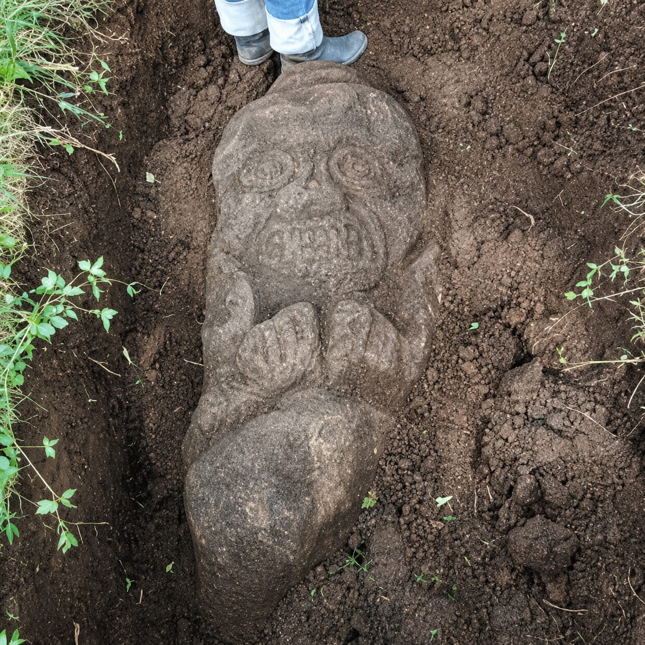
The sculptures: materials and technique
Stone: volcanic basalts ranging from greenish to pale gray, fine-grained, very hard — the same bedrock as the local substrate.
Technique:
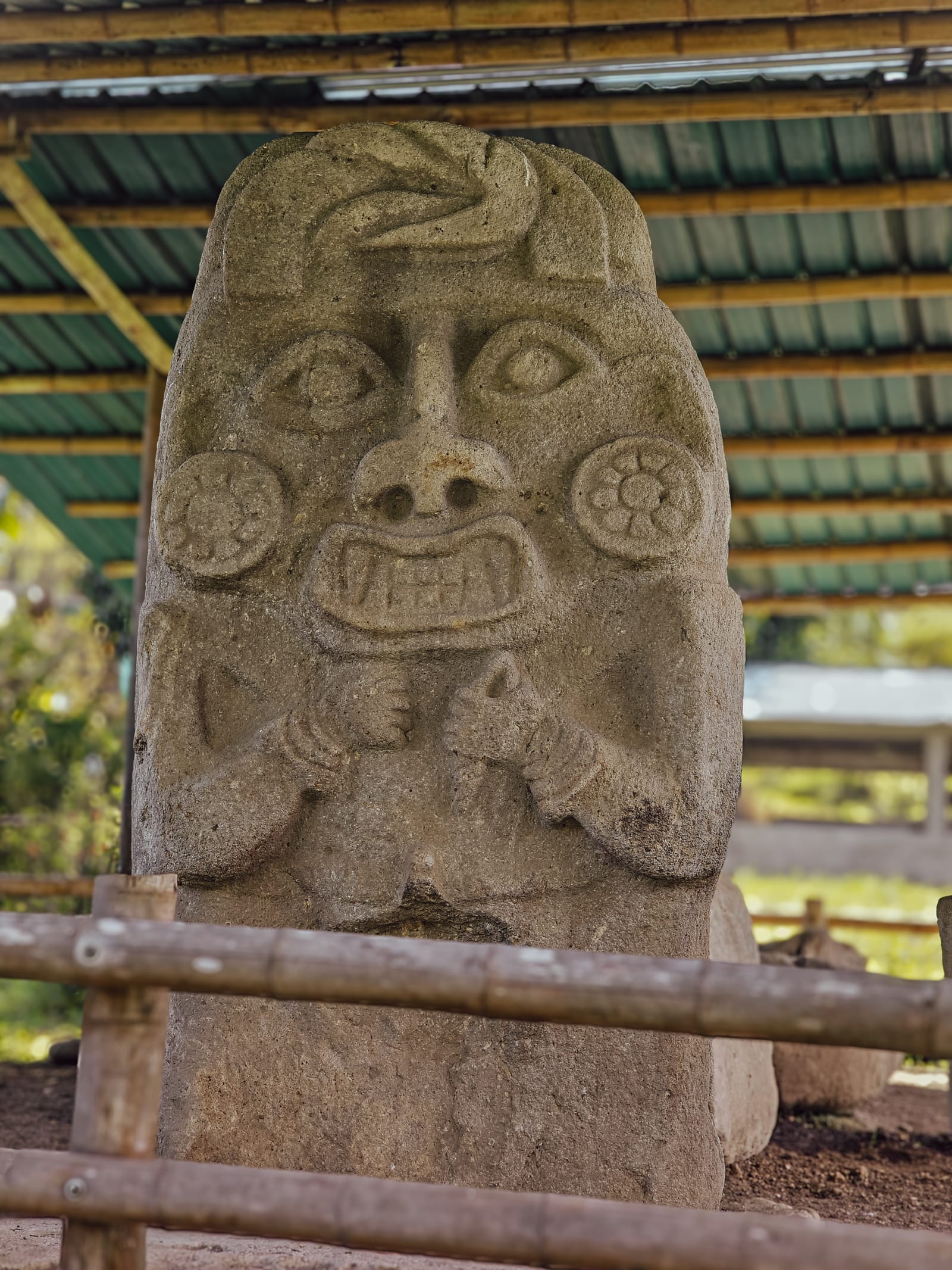
- High-relief carving: to emphasize prominent features (nose, arms, headdress, earrings, fangs)
- Low-relief carving: for secondary details and textures
- Work with high-hardness lithic tools (hammerstones, polishers)
Iconography:
- Anthropozoomorphic features: fusion of human traits with animals (especially felines —protruding fangs— and monkeys)
- Bent arms and closed hands: the characteristic posture of power statuary
- Headdresses and earrings: indicators of status and the social role of the figure depicted
- Front facing east: the guardian sculpture looks toward the settlement and the valley
Types of structures at the site
| Type | Function | Count at Vegonia |
|---|---|---|
| Slab (“cancel”) tombs | Burial with flat slabs | 3 (main trail) |
| Boundary markers (mojones) | Territory delimitation, signaling | 5 |
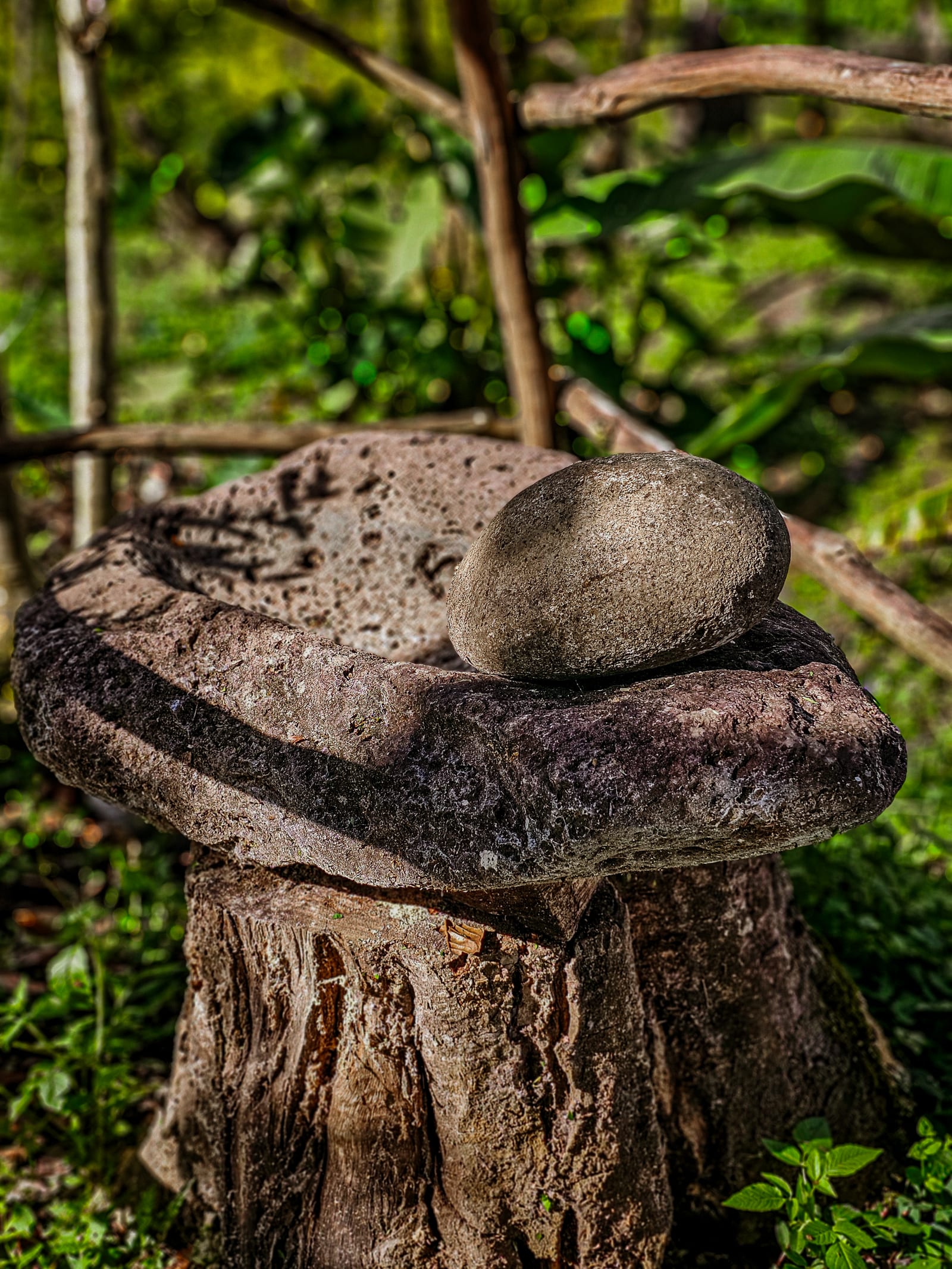
| Grinding stones (metates) | Food grinding (domestic/ritual) | 3 |
| Sculptures | Representation of leaders/deities | 3 main |
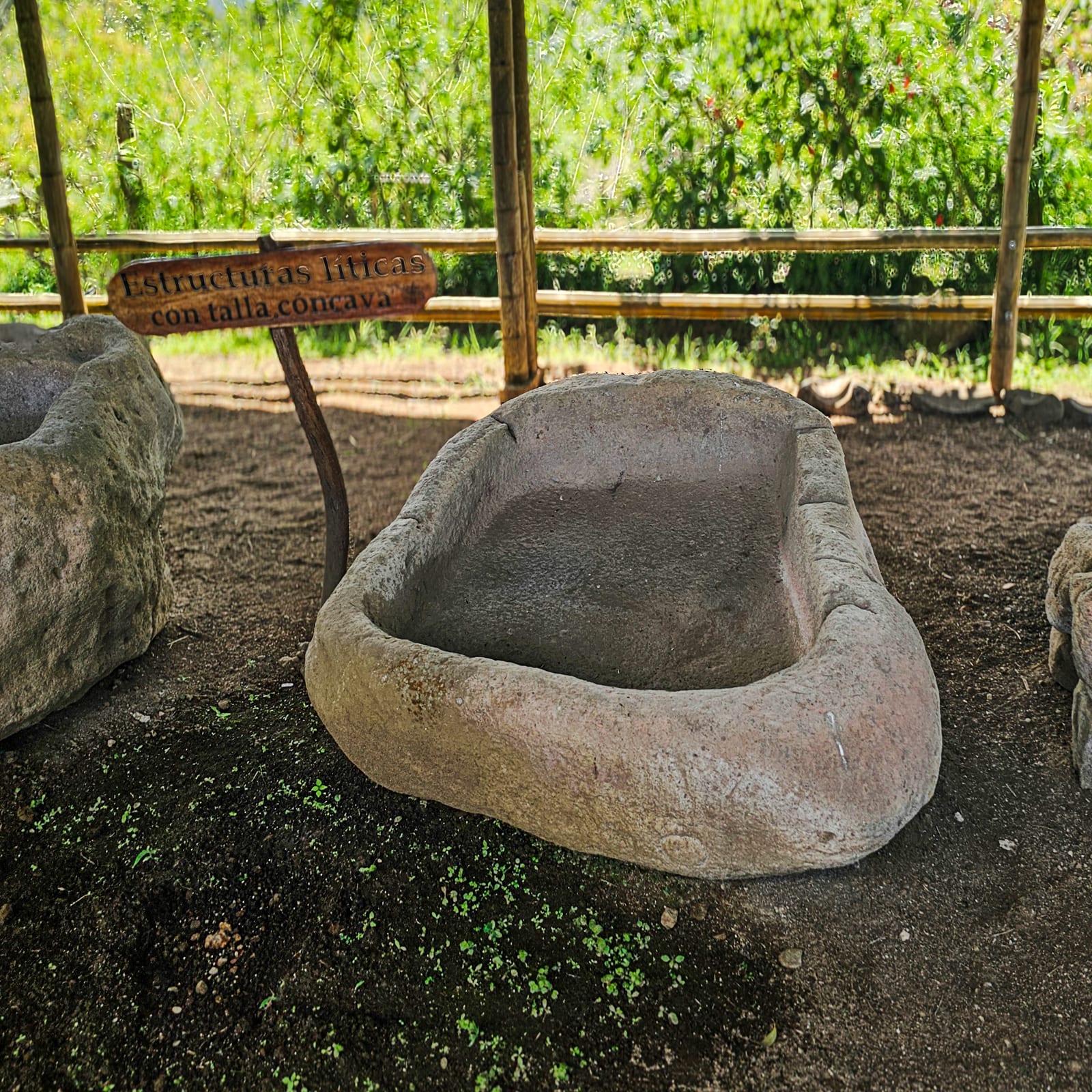
| Basins / concave structures | Ritual or domestic containers | 3 under shelter |
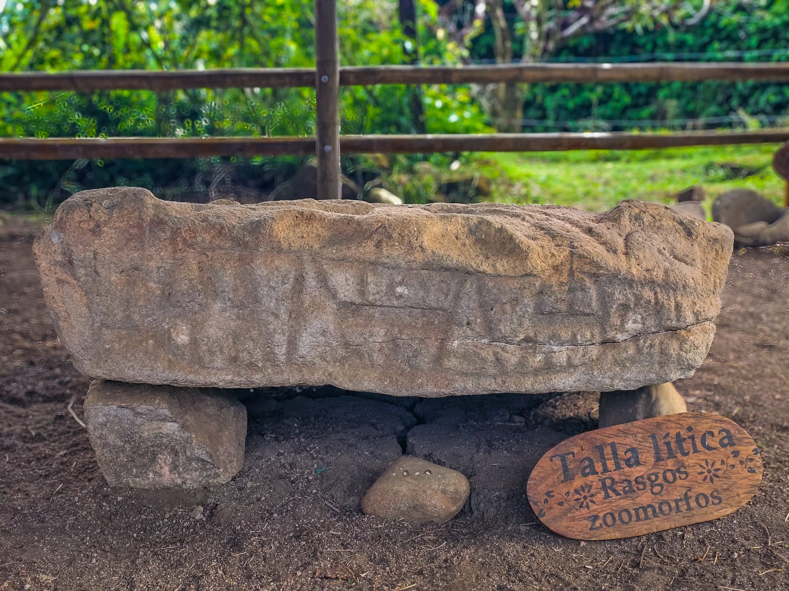
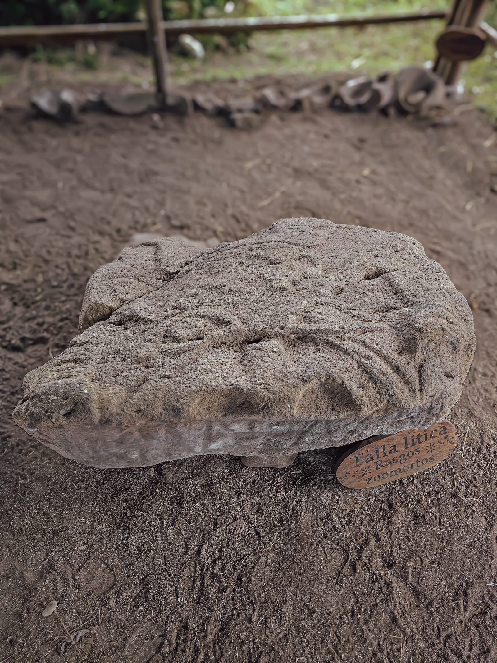
| Zoomorphic carving | Ritual animal representation | 1 |
| Slab accumulations | Possible ritual function + agricultural clearing | Several |
Cuisine of the Upper Magdalena culture
The culinary tradition of the Upper Magdalena peoples survives in contemporary Huila cooking:
- Huila tamal: local version of the tamal with regional proteins
- Trout: ancestral fishing in the rivers of the Massif
- Golden cuy (guinea pig): traditional protein of the Andean region
- Guarapo and cane juice: pre-Hispanic fermented drinks
- Sancocho and broths: cooking techniques of indigenous origin
The 19 pieces along the trail
Each lithic element was documented with the National University and registered with ICANH.


History of the site
History of the site — Vegonia Arqueológica
Overview
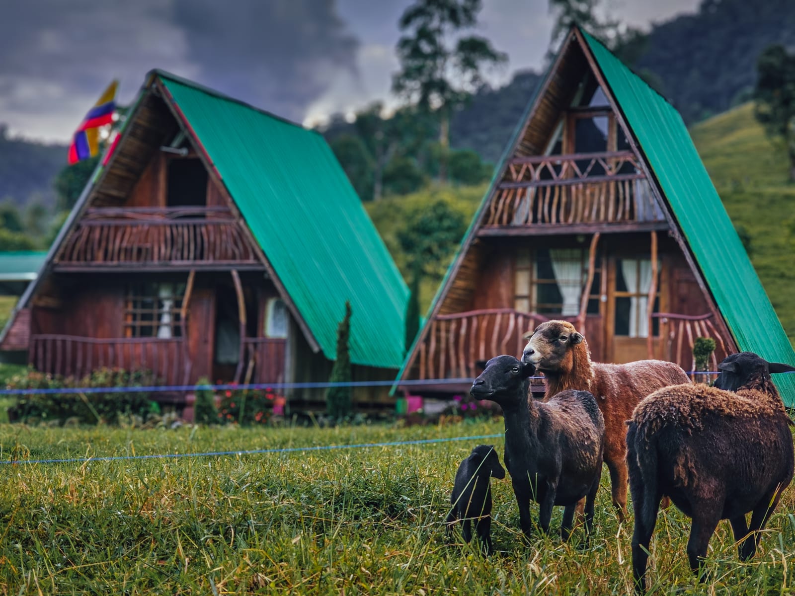
Vegonia Arqueológica is located on Finca La Begonia, La Morelia district, Saladoblanco, Huila. Coordinates: 2.0544°N, -76.1813°W. Altitude: 1,500–2,100 m above sea level. Temperature: 12–24°C.
The site is recognized as the largest and best-preserved residential nucleus of the Upper Magdalena, with more than 112 artificial terraces across 8 hectares, 50% of which feature stone walls — a novel trait for the period.
Research timeline
Héctor Llanos Vargas (1984–1985)
Professor and researcher. Publication: “Pautas de asentamiento agustinianas en el cañón del río Granates – Saladoblanco.”
Main findings:
- 112–120 artificial terraces across 8 hectares
- A network of pre-Hispanic drainage and irrigation canals
- Stone paths articulating the settlement
- Obsidian lithic industry (knives, scrapers, blades)
- Three main sculptures with high- and low-relief carving
Radiocarbon dates:
- Mound I cemetery — 6th century AD (Beta-10232, 1440 ± 50 BP)
- Mound II — 10th century AD (Beta-10233, 1050 ± 100 BP)
- Terrace — 18th century AD (Beta-12703, 250 ± 90 BP)
Carlos Augusto Sánchez (2023–2025)
National University of Colombia. ICANH permit No. 8776. “Granates River valley archaeological project.”
42 students from UNAL took part.
Main findings:
- 45 occupation areas from Formative 2 (66.1 ha)
- 39 areas in Formative 3 (34.1 ha — a 52% reduction)
- Three Puracé volcanic eruptions documented as affecting the site
- Ceramics: polished red Planaditas (Formative 2: 600–300 BC) and slipped red Lourdes (Formative 3: 300 BC – 1 AD)
- Sherds with red paint in oblique parallel lines, a singular trait of the Granates River valley
Origin of the Vegonia project
Founded on April 23, 2022, in a meeting of the Paladinez Anacona brothers with Israel Paladinez. The project directly benefits 8 families of the La Morelia district.
The pieces were discovered during agricultural drainage work on the farm. Given the importance of the find, the family began the registration process with ICANH, which culminated in ICANH Resolution No. 1457 of October 4, 2023.
Ecological context
The valley runs at 1,800–2,100 m above sea level over a basaltic/volcanic substrate.
Representative flora: laurel, oak, cedar, guadua bamboo, platanillo. Fauna: tapir, howler monkey, white-tailed eagle, parrot, mockingbird.
The site sits within the biological corridor of the Colombian Massif, the source of five of Colombia’s main rivers.
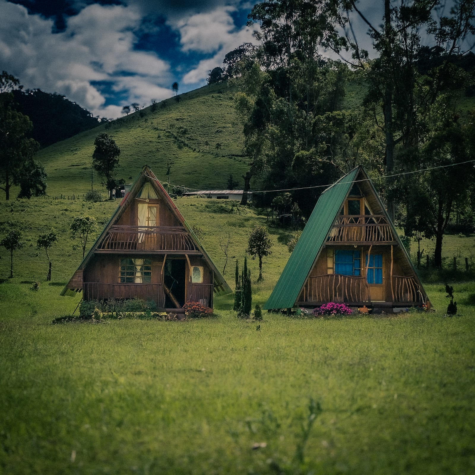
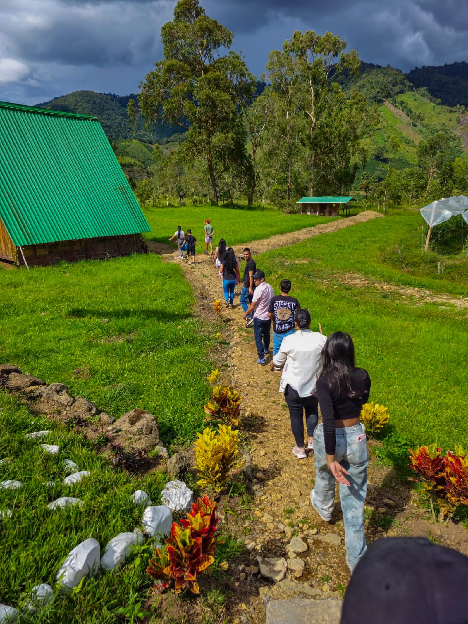
Complementary attractions
From Vegonia, excursions are organized to:
- Arco de las Jarras (4–5h)
- Laguna del Dorado (3–4h)
- Charco de los Infiernos
- Chipie Waterfall
- La Morelia natural hot springs
- Bordones Falls (2–3h)
Academic research
Academic research — Vegonia Arqueológica
Study 1: Héctor Llanos Vargas (1984–1985)
Institution: Not specified (pioneering research in the region) Publication: “Pautas de asentamiento agustinianas en el cañón del río Granates – Saladoblanco” Fieldwork period: 1984–1985
Site description
Llanos catalogued the site as “the largest and best-preserved residential nucleus of the Upper Magdalena.”
Settlement structure:
- 112–120 artificial terraces across 8 hectares
- 50% of terraces with stone walls (a novel trait in Agustinian statuary)
- A network of pre-Hispanic drainage and irrigation canals
- Wide stone paths at some sites lead to sacred places on hilltops
Documented archaeological evidence:
- Trapezoidal sarcophagus
- 6 slab (“cancel”) tombs
- 3 main sculptures (Sculptures A, B, C in Llanos’s nomenclature)
- Obsidian lithic industry: knives, scrapers, blades from local volcanic sources
- Conical and longitudinal stone accumulations with possible ritual function
Radiocarbon dates:
| Sample | Context | Date BP | Century AD |
|---|---|---|---|
| Beta-10232 | Mound I (cemetery) | 1440 ± 50 BP | 6th c. AD |
| Beta-10233 | Mound II | 1050 ± 100 BP | 10th c. AD |
| Beta-12703 | Terrace | 250 ± 90 BP | 18th c. AD |
Study 2: Carlos Augusto Sánchez (2023–2025)
Institution: National University of Colombia (UNAL) ICANH permit: No. 8776 Project: “Granates River valley archaeological project” Participants: 42 UNAL students Researcher email: [email protected]
Research question
The role of kinship in early social inequality.
Geographic–ecological context
The valley runs at 1,800–2,100 m above sea level over a basaltic volcanic substrate.
Flora: laurel, oak, cedar, guadua bamboo, platanillo. Fauna: tapir (Tapirus terrestris), howler monkey, white-tailed eagle, parrot, mockingbird.
Main results
Occupations:
- Formative 2 (600–300 BC): 45 occupation areas across 66.1 ha
- Formative 3 (300 BC – 1 AD): 39 areas across 34.1 ha (52% reduction)
Documented volcanic eruptions: 3 Puracé eruptions affected the site.
Ceramics by period:
- Polished red Planaditas → Formative 2 (600–300 BC)
- Slipped red Lourdes → Formative 3 (300 BC – 1 AD)
- Sherds with red paint in oblique parallel lines: a singular trait of the Granates River valley vs. neighboring areas
Sculptures documented by Sánchez:
- Guardian sculpture (Shelter sector): 2.49 m tall, 1.41 m wide, 55 cm thick. Fierce features and the regalia of Regional Classic leaders (1–900 AD). Described by Sotomayor & Uribe (1987) and Llanos (1988). Front facing east.
- Sculpture with a load (Shelter sector): 1.28 m tall, 59 cm wide, 39 cm thick. A figure on its back similar to the sarcophagus of Mound III at Alto de Los Ídolos (Isnos). Possibly a monkey with tied limbs.
- Anthropozoomorphic sculpture (trail): 143 × 205 × 67 cm. Greenish/pale-gray fine-grained basaltic volcanic rock. High- and low-relief carving.
Stone material
- Volcanic basalts, greenish to pale gray, fine-grained, very hard
- Anthropozoomorphic forms with prominent protruding fangs
- Cylindrical boundary markers (mojones) as territorial markers
- Slab tombs with thin, flat slabs
References cited in the internal documents
- Llanos, H. (1984–1985). Pautas de asentamiento agustinianas en el cañón del río Granates – Saladoblanco.
- Sotomayor, M. & Uribe, M. (1987). Initial description of the site’s sculptures.
- Llanos, H. (1988). Expanded description of the sculptures.
- Sánchez, C.A. (2023–2025). Granates River valley archaeological project. ICANH Permit 8776. UNAL.